Section 1Getting Started |
||
| HOME MAIN TOCHELP |
Section 1Getting Started |
||
| HOME MAIN TOCHELP |
1.1 |
Introduction to Coastal Navigation |
| Coastal navigation has been practiced as long as people have used boats to travel along a coastline. Using simple conning techniques - steering by visual reference alone - ancient mariners journeyed great distances and built vast trading networks. If sailors could see land or recognize wind, current or star patterns they knew where they were and where they were going. |
 |
Today, most recreational boaters continue to cruise within sight of land: on lakes, rivers, in bays and along coastlines. While the skills of coastal navigation, or piloting, have evolved over the years, the basic goal is unchanged: To determine your position and to find a safe route to a destination using landmarks, both natural and manmade, as reference points. |
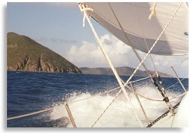
Dangers of the DeepNo waterway is without its hazards: shoals, strong currents, overhead power lines, rocky shores - such dangers abound. Some of these can threaten lives and destroy boats while others present only an inconvenience. If you are aware of these risks you can take the necessary action to avoid them. You need to know the type of hazard, where it is and where your boat is in relation to it. The knowledge that a bay contains dangerous underwater rocks is of little use if you are uncertain of your boat's position. Conscientious practice of coastal navigation will provide you with an acceptable level of certainty in all types of waters. |
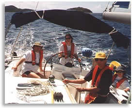
Better CruisingNavigational skills will also help you to plan and carry out a more efficient and enjoyable cruise. You will be able to plot optimal routes, find safe anchorages, and predict arrival times. You can plan passages in advance and update them en route if conditions change or a diversion beckons. Whether it's a two-week cruise in the Virgin Islands or an afternoon jaunt across the lake, having a capable navigator on board will ensure a safer and more pleasant voyage. |
|
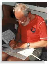
Navigation by ObservationCoastal navigation involves three main tasks: gathering information, noting this information clearly, and then interpreting it to determine a course of action. |
| 1. | Gather the information by looking at landmarks and other objects, refering to nautical charts, reading such material as Tide Tables, Tidal Current Tables, Coast Pilots, and checking the instruments. |
| 2. | Note the information in a log book or plot it on a chart. |
| 3. | Interpret it with navigational knowledge to allow decisions to be made with confidence. |
 |
The Need for SpeedAnother requirement for a navigator is speed. To be able to gather, note and plot the information quickly requires practice. If you can make navigational decisions speedily on a sunny, calm day, you can do it under pressure when bad weather is closing in. As well, less time spent pouring over charts and tables means more time enjoying the scenery. The following sections and exercises will help you develop the speed and accuracy to become an effective navigator. |
Not Rocket ScienceProficiency in navigation requires new skills that are within the capabilities of the average sailor or power boater. Even those who haven't solved an equation since high school can do the simple arithmetic that is required. With knowledge acquired and skills mastered, all that remains for the beginning navigator is a little on-the-water practice, and common sense. Any boater can become a navigator and in the process a better, safer boater. |
| MAIN TOC SECTION TOCPREV LESSONNEXT LESSON HELP |